The store will not work correctly when cookies are disabled.
We use cookies to make your experience better.To comply with the new e-Privacy directive, we need to ask for your consent to set the cookies. Learn more about our cookies policy.
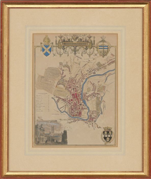
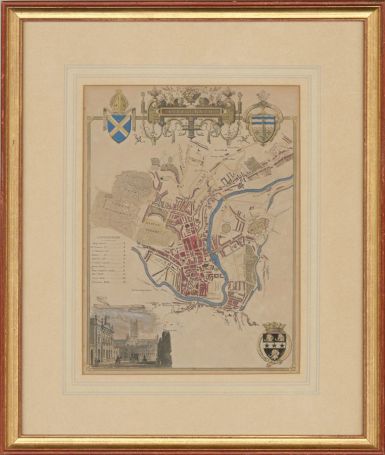
A 19th century map of Bath, published in Barclay's English Dictionary c.1836-48. The map features a vignette of Guildhall and Abbey and Bath's coat of arms. Presented in a washline mount and gilt frame. On wove.
Condition
The condition is typical for a picture of this age including some discolouration and foxing. Hand coloured at a later date.
Size
26.8 x 20.1cm (10.6" x 7.9")Framed Size: 42.1 x 35.7cm (16.6" x 14.1")
Artist Biography
Thomas Moule 1784-1851) was an English antiquarian, writer on heraldry, and map-maker. He is best known for his popular and highly decorated county maps of England, steel-engraved and first published separately between 1830 and 1832.
Location
Bath, Bath, Bath and North East Somerset, England, United Kingdom