Description
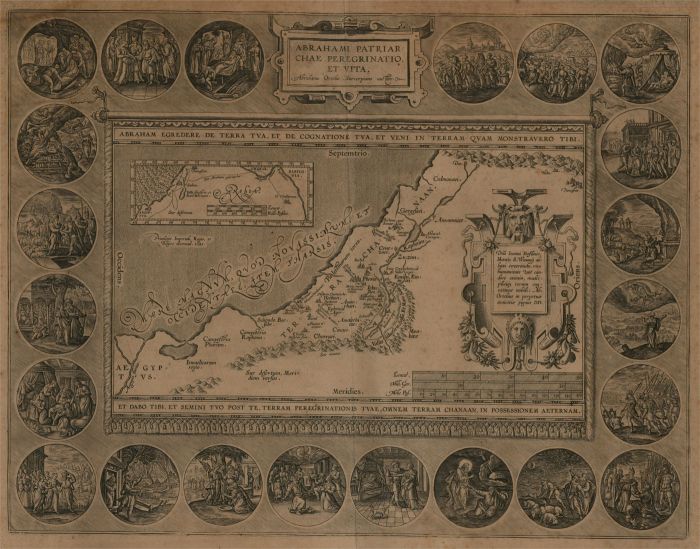
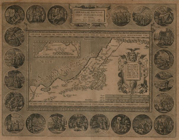
An early 17th or late 16th century map showing the land of Canaan with an inset map depicting the wanderings of Abraham, the first patriarch of Judaism. Surrounded by 22 medallions showing scenes of Abraham's life. Taken from the Atlas Theatrum Orbis Terrarum or Parergon with Latin text on verso. Unlike many other versions of this print, the map is uncoloured, making the crisp detail of the engraving clearly visible. We estimate the map to be from 1621 or earlier, as it has the earlier version of vignettes. On laid.
Condition
The condition is typical for a picture of this age including discolouration and foxing. Vertical crease runs through the centre of the page from the original book. 3cm tear to upper edge and small loss to upper right corner.
Size
37.4 x 47.7cm (14.7" x 18.8")Sheet: 45 x 55.6cm (17.7" x 21.9")
Artist Biography
The maker of the 'first atlas,' the Theatrum Orbis Terrarum (1570), was born on 4 April 1527 into an old Antwerp family. He learned Latin and studied Greek and mathematics.
Abraham and his sisters Anne and Elizabeth, took up map colouring. He was admitted to the Guild of St. Luke as an "illuminator of maps." Besides colouring maps, Ortelius was a dealer in antiques, coins, maps, and books, with the book and map trade gradually becoming his primary occupation.
Business went well because his means permitted him to start an extensive collection of medals, coins, and antiques, as well as a library of many volumes. He traveled a lot and visited Italy and France, made contacts everywhere with scholars and editors, and maintained an extensive correspondence with them.
In 1564 he published his first map, a large and ambitious wall map of the world. The inspiration for this map may well have been Gastaldi's large world map. In 1565 he published a map of Egypt and a map of the Holy Land, a large map of Asia followed.
In 1568 the production of individual maps for his atlas Theatrum Orbis Terrarum was already in full swing. The atlas was completed in the year 1569, and in May of 1570, the Theatrum was available for sale. It was one of the most expensive books ever published.
This first edition contained seventy maps on fifty-three sheets.The maps were engraved by Franciscus Hogenberg.
Later editions included Additamenta (additions) that later resulted in Ortelius' historical atlas, the Parergon, mostly bound together with the atlas. The Parergon can be called a truly original work of Ortelius, who drew the maps based on his own research.
The importance of the Theatrum Orbis Terrarum for geographical knowledge in the last quarter of the sixteenth century is difficult to overemphasize. There was nothing else like it until Mercator's atlas appeared twenty-five years later. Demand for the Theatrum was remarkable. Altogether some 24 editions appeared during Ortelius's lifetime and another 10 after his death in 1598. Editions had been published in Dutch, German, French, Spanish, English, and Italian. The number of map sheets grew from 53 in 1570 to 167 in 1612, in the last edition.
In 1577, engraver Philip Galle and poet-translator Pieter Heyns published the first pocket-sized edition of the Theatrum, the Epitome. The work was very popular. Over thirty editions of this Epitome were published in different languages