The store will not work correctly when cookies are disabled.
We use cookies to make your experience better.To comply with the new e-Privacy directive, we need to ask for your consent to set the cookies. Learn more about our cookies policy.
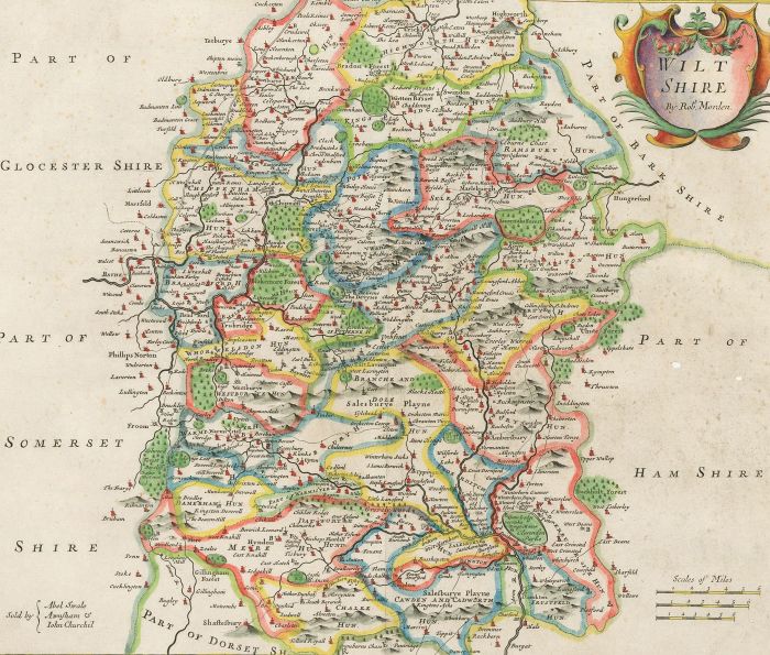
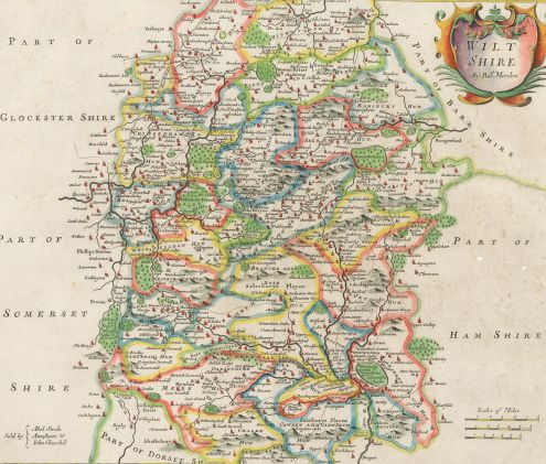
An interesting late 17th century hand coloured map of Wiltshire by Robert Morden which appeared in Camden's Britannia (London: Swale, Awnshaw & Churchill, 1695). The maps are also notable for using up to three different mileage scales. It is probable that this map is first edition of 1695 as it has a number of discrepancies that were corrected for the next edition of 1722; for example, Berwick Saint John is described as 'South Berwick'. On laid.
Condition
With some creasing and tears to the edges, the largest measuring 2cm. There are also a number of wormholes to the lower edge, as shown. There is scattered foxing across the page.
Size
32.9 x 38.7cm (13" x 15.2")Sheet: 38 x 45cm (15" x 17.7") Plate: 34.6 x 40.9cm (13.6" x 16.1")