The store will not work correctly when cookies are disabled.
We use cookies to make your experience better.To comply with the new e-Privacy directive, we need to ask for your consent to set the cookies. Learn more about our cookies policy.
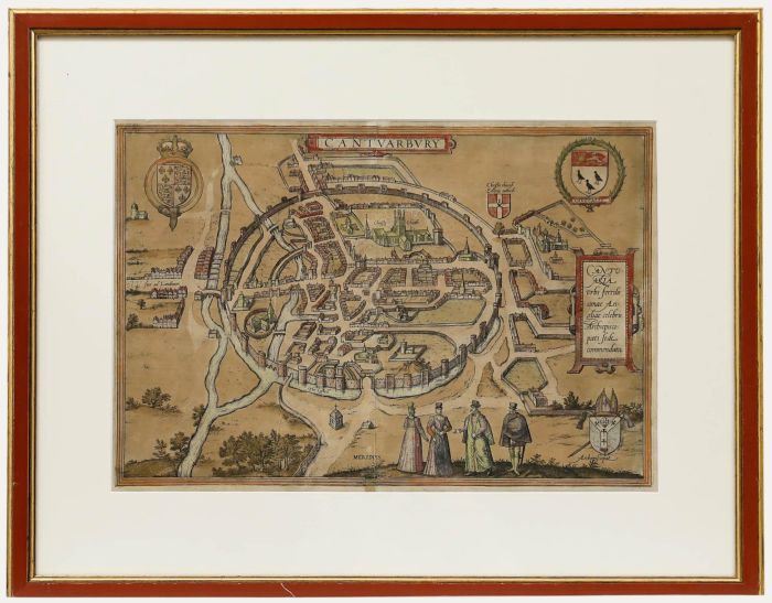
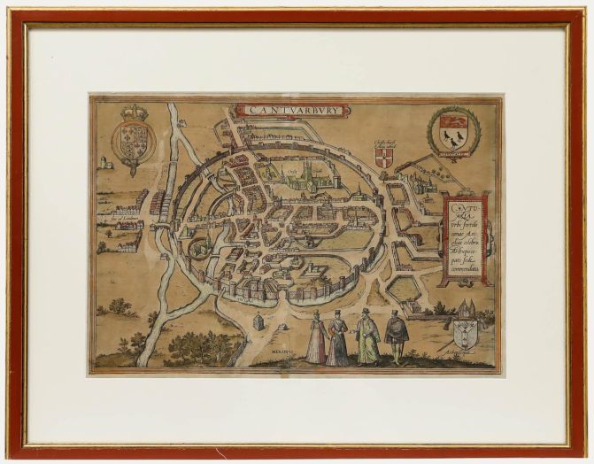
A charming map of Canterbury c.1588 by German topo-geographer Georg Braun. Inscribed in plate. Presented in a part-gilt frame. On paper.
Condition
The condition is typical for a picture of this age, including some discolouration. Creasing to the sides of the paper and to the middle where the print was once presented in a book.
Size
30 x 43cm (11.8" x 16.9")Framed Size: 48 x 61cm (18.9" x 24")