The store will not work correctly when cookies are disabled.
We use cookies to make your experience better.To comply with the new e-Privacy directive, we need to ask for your consent to set the cookies. Learn more about our cookies policy.
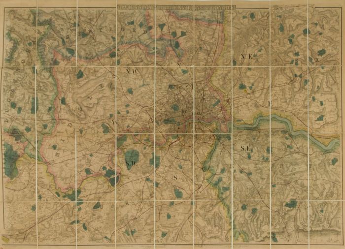
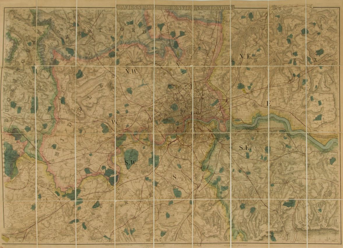
Original 1866 Etching. A folding map of London and the surrounding areas in a green cover with gilt lettering. The map measures (73 x 107.5cm) and the whole page (79 x 111 cm). The book cover measures (22 x 13.5 cm). Published by Edward Stanford, 6 Charring Cross, London in 1866. Condition is good for an item of this age including some discolouration and minor fraying to the cover.