The store will not work correctly when cookies are disabled.
We use cookies to make your experience better.To comply with the new e-Privacy directive, we need to ask for your consent to set the cookies. Learn more about our cookies policy.
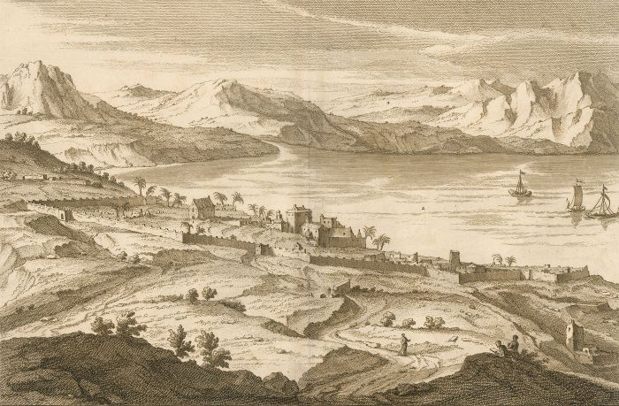
A folded double page map from Calmet's Great Dictionary of the Holy Bible, showing the Church of St. Peter, The Sea of Tiberias or Lake of Genezareth, the mouth of Jordan, and the mountains of Arabia the Stony. P. 684, lettered to the upper left and lower centre. On laid.
Condition
Some age toning typical of an engraving this age, Original centre fold, with a strip of laid paper re-enforcing the fold from the reverse. Fold is a little fragile but stable. Some light creases to sheet edges in areas. A tiny tear to the upper left edge, not affecting the image.
Size
28.3 x 43.2cm (11.1" x 17")Sheet: 40.3 x 50.3cm (15.9" x 19.8") Plate: 32 x 45cm (12.6" x 17.7")