The store will not work correctly when cookies are disabled.
We use cookies to make your experience better.To comply with the new e-Privacy directive, we need to ask for your consent to set the cookies. Learn more about our cookies policy.
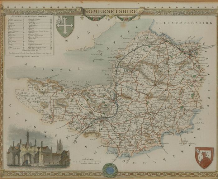
A fine hand-coloured engraving of a topographical map of Somersetshire, dating to the 1840's. Produced by the cartographer Thomas Moule (1784-1851), a well-known English antiquarian and producer of these highly decorated county maps. Well-presented in a dark frame with gilt detail. Unsigned and inscribed. On wove.
Condition
The condition is typical for a topographical map of this age, including some discolouration. There is a small 1 cm tear to the left edge, and pin holes to the upper edge, as shown. In fine condition overall. There are some small losses to the frame beading.
Size
21.3 x 25.9cm (8.4" x 10.2")Framed Size: 35.2 x 40.3cm (13.9" x 15.9")