The store will not work correctly when cookies are disabled.
We use cookies to make your experience better.To comply with the new e-Privacy directive, we need to ask for your consent to set the cookies. Learn more about our cookies policy.
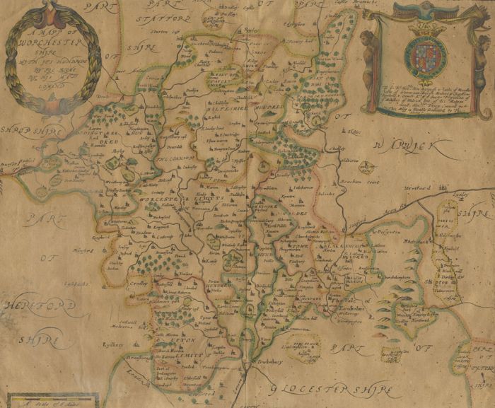
Richard Blome - Original 1677 Engraving. Copper plate engraved map of Worcestershire with hand colouring. Two sheets affixed at central fold. The map was published in Blome's Britannia in 1673 and 1677. It features a wreathe-like title cartouche, mileage scale, compass, orientations, and the arms of Marquess and Earl of Worcester. Unsigned. Condition is typical for a picture of this age including some discolouration with various small closed tears to edges and a loss to the right edge as shown.