The store will not work correctly when cookies are disabled.
We use cookies to make your experience better.To comply with the new e-Privacy directive, we need to ask for your consent to set the cookies. Learn more about our cookies policy.
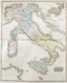
A fine early 19th Century engraved map of the shoreline of North Wales. The artist's name, publisher's details and date have been inscribed to the lower left corner.
Condition
There is some discolouration and areas of tape burn at the lower right edges. Two vertical and two horizontal creases across the paper.
Size
37.2 x 43.5cm (14.6" x 17.1")Sheet: 44.6 x 53.3cm (17.6" x 21")