The store will not work correctly when cookies are disabled.
We use cookies to make your experience better.To comply with the new e-Privacy directive, we need to ask for your consent to set the cookies. Learn more about our cookies policy.
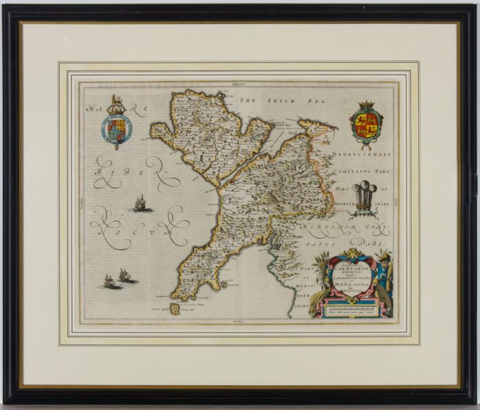
A fine original c.1646 engraved map of Caernarvonshire and the Island of Anglesey in North Wales, with hand-colouring and German text, by Dutch cartographer Joan Blaeu (1596-1673). The Blaeu family were the most successful 17th century maps publishers, founded in 1596 in Amsterdam. Publishing magnificent maps of all parts of the globe, the printing house was burned down in 1667, with the loss of most of the stock and copper plates. The business was contuned until 1695 by Joan Blaeu's three sons.
Handsomely presented in a black wooden moulded frame, with inner gilt beading and washline mount, as shown. There is a label to the reverse from Richard Nicholsons of Chester.
Unsigned and inscribed. On laid.
Condition
In extremely good condition for a picture of this age. There is some light even surface discolouration, and a centre fold down the middle, typical as this map would have been from a larger folio. With plate lines.
Size
38.8 x 50.5cm (15.3" x 19.9")Framed Size: 62.7 x 74cm (24.7" x 29.1")