The store will not work correctly when cookies are disabled.
We use cookies to make your experience better.To comply with the new e-Privacy directive, we need to ask for your consent to set the cookies. Learn more about our cookies policy.
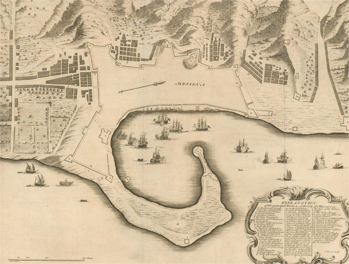
A map of Messina, a harbour city in northeast Sicily. Inscribed with the title in plate to the lower edge, 'Plan of the Works of the City of Messina, one of the strongest and most considerable Cities of Sicily, and a fine Sea-Port'. There is a comprehensive key at the lower-right corner, titled 'Explanation of the principal works etc. of the City of Messina'. Engraved for 'Mr Tindal's Continuation of Mr Rapin's 'History of England'' with maps by Richard William Seale and John Basire and first published in 1727. This was a continuation of 'L'Histoire d'Angleterre' by Paul de Rapin-Thoyras (1661-1725) which was printed at the Hague in 1724. On laid.
Condition
There are several small closed tears around the edges. There is a centrefold crease and some mild foxing and discolouration around the edges. Cropped to the plate line at the upper edge.
Size
33.9 x 44.7cm (13.3" x 17.6")Sheet: 41.7 x 53.2cm (16.4" x 20.9") Plate: 39 x 49cm (15.4" x 19.3")